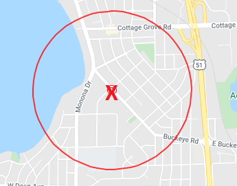
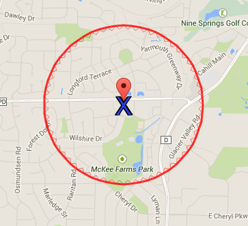
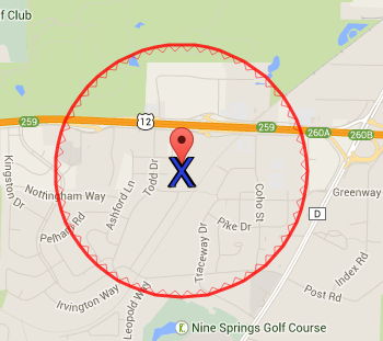
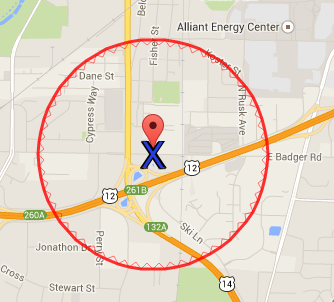
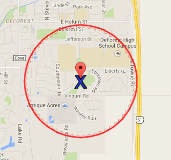
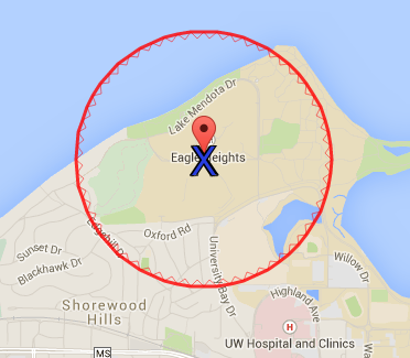
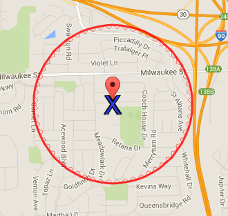
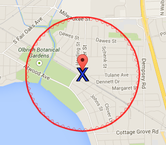
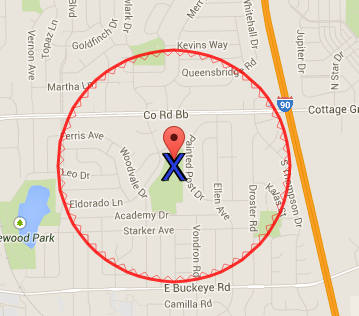
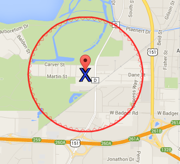
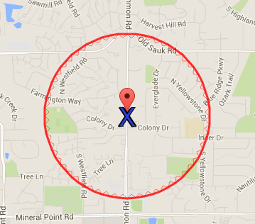
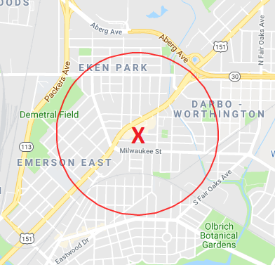
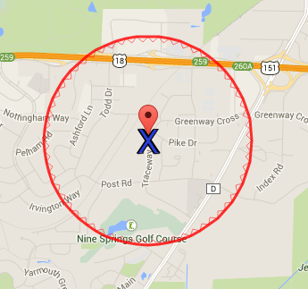
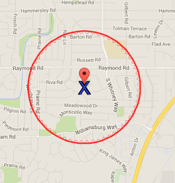
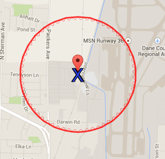
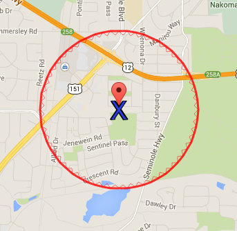
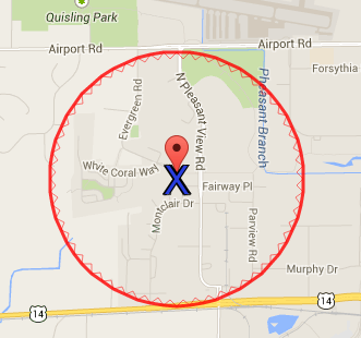
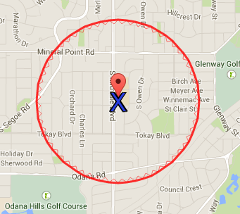
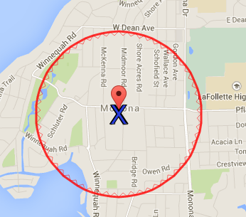
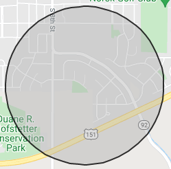
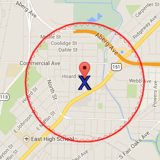
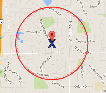
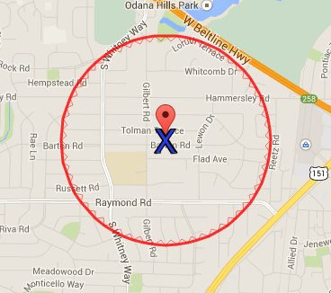
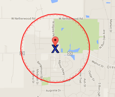
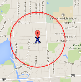
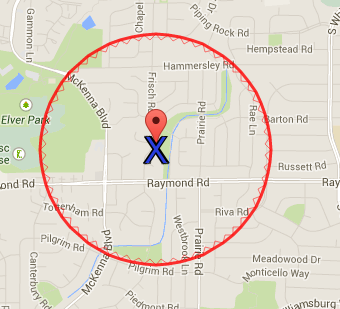
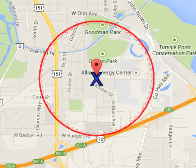
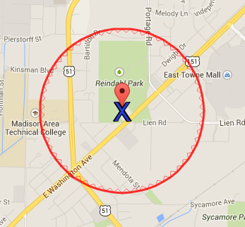
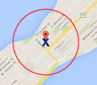
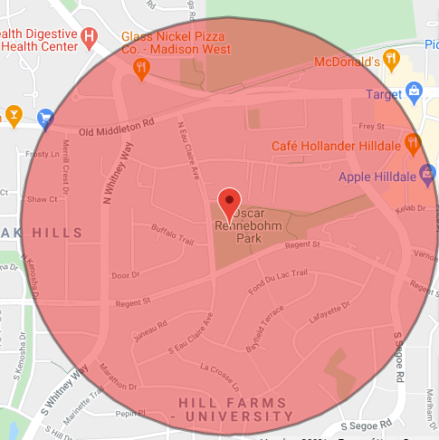
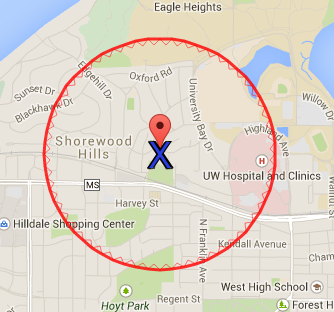
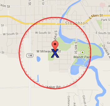
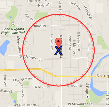
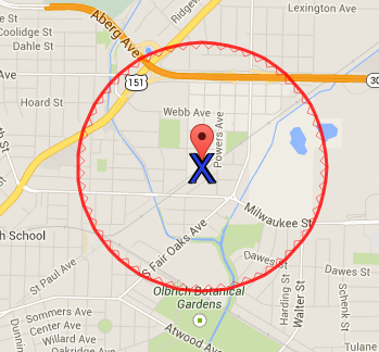
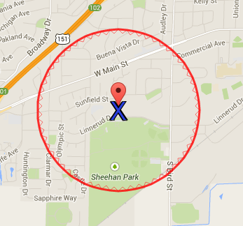
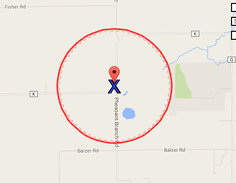
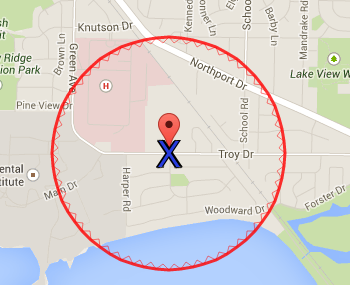
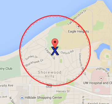
Demographics forms request gardeners to indicate whether or not they live within 0.5 miles of the garden. This will help us in linking neighborhood-level data with community gardens. These alphabetized maps show the half-mile radius around each community garden. The “X” marks our best estimate of the garden’s address or center point. Please insert the map on the back of your demographics form or print copies to have available at your garden registration day.
Please note you may have to select the “view full size” option to save your map image.
Allis
All Saints
Arbor/McDivitt
Atwood
Badger Fountain of Life
Badger Prairie: Verona
Badger Rock
Black Hawk
Bock
Brittingham
Bridge Lakepoint Waunona
Burr Oaks
Cottage Grove
Crowley Station
DeForest
Eagle Heights
East High/Goodman Youth Farm
East Main
East Madison
Eastmorland
Elvehjem
Fraust
Gammon
Good Shephard (Sun Prairie)
Hammersley
Hawthorne
Leopold Park
Lindbergh
Meadowood Park
McCormick
McFarland
Majestic Oaks
Marlborough Park
Meadowood Baptist
Middleton Hills
Middleton Outreach Ministry
Midvale
Monona United Methodist
Moorland
Mount Horeb
North Lawn
Old Sauk
Orchard Ridge Vegetable Village
Oregon
Pheasant HIll
Prairie Hills
Quann
Reindahl
Reynolds
Rimrock
Sheboygan
Shorewood
Southdale
Stoughton, Lowell Park
Stoughton United Methodist Church
St. Paul
Sun Prairie
Terra Grower Farm
Troy
University Houses
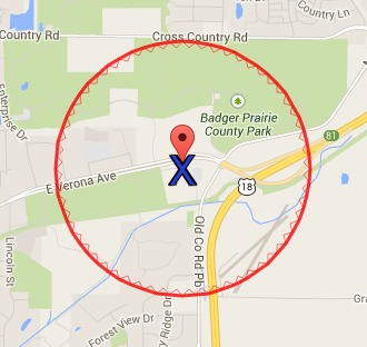
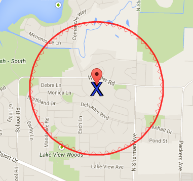
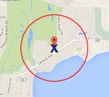
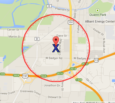
Please contact us at gardens@communitygroundworks.org if you notice any problems with your garden’s map!